Ireland’s longest waymarked trail, circling the Iveragh Peninsula from Killarney through remote mountain valleys and along the Atlantic coast, available as a 6-day or full 11-day route.
6 Days / 5 Nights, or 11 Days / 10 Nights
Moderate to Challenging
County Kerry, Ireland
April to October
Up to 210 km for the full circular route
€699
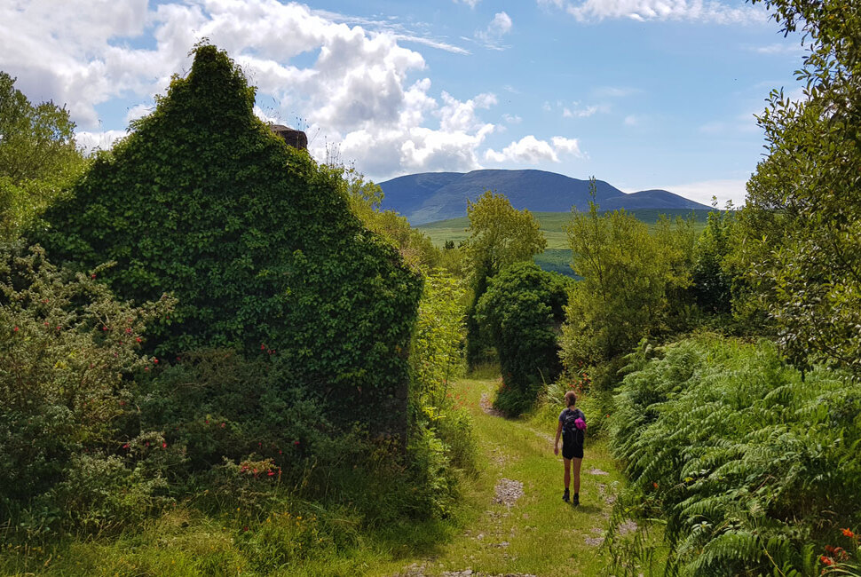
The Kerry Way is a 210km circular route starting and finishing in Killarney, following a similar line to the well-known Ring of Kerry driving route, but reaching remote valleys no car can access. Old green roads and historic tracks, walked for hundreds of years, lead through the lower slopes of Macgillycuddy’s Reeks, Ireland’s highest mountain range, before looping out around the Iveragh Peninsula.
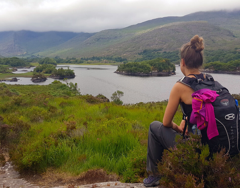
The landscape shifts constantly, from the lakes and forests of Killarney National Park to open moorland, mountain passes and, eventually, the dramatic Atlantic coastline. This route is available as a 6-day introduction, from Killarney to Cahersiveen, or the full 11-day circuit back to Killarney.




Accommodation:
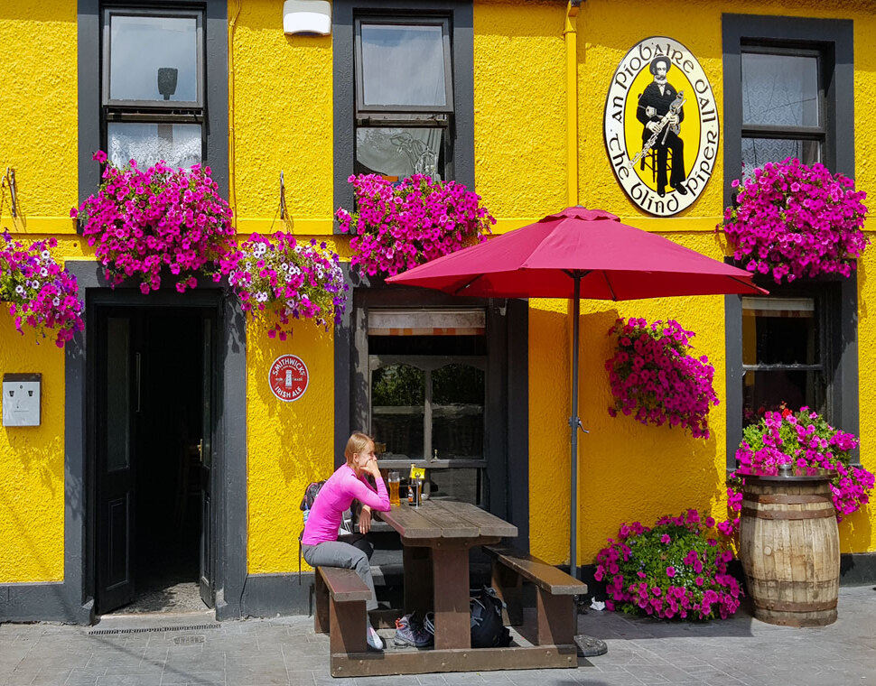
B&Bs chosen for location, comfort and character, each offering a warm Irish welcome, a hearty breakfast, and en-suite rooms throughout.
Meals:
Bed and breakfast basis. Lunches and dinners aren’t included, but villages along the route have good options for both.
Availability:
Starts any day of the week, between April and October.
Difficulty:
Graded moderate to challenging. Terrain is mostly quiet tarmac roads, open moorland, woodland and field paths, and boreens. There are no major sustained ascents, but some sections of open moorland are very isolated, and off-road stretches can be wet and muddy. Some days are long and demanding rather than technically difficult.
Killarney is the main tourist hub in Ireland's southwest, and the gateway to Killarney National Park.
Overnight: Killarney
Distance: 24 km, Ascent: 380 m, Walking time: around 6 hrs
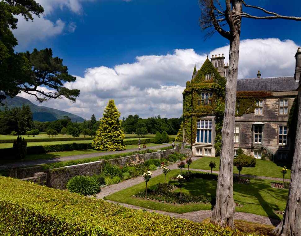
The route enters Killarney National Park almost immediately, home to Ireland's only native herd of red deer and a growing population of white-tailed eagles. It passes Muckross House and Torc Waterfall before a steep climb onto open moorland and the Old Kenmare Road, an old trading track long closed to traffic. A descent through forest reaches the Upper Lake, with the option of a stop at Lord Brandon's cottage before continuing to the scattered community of Black Valley.
Overnight: Black Valley
Distance: 21 km, Ascent: 600 m, Walking time: around 6 hrs
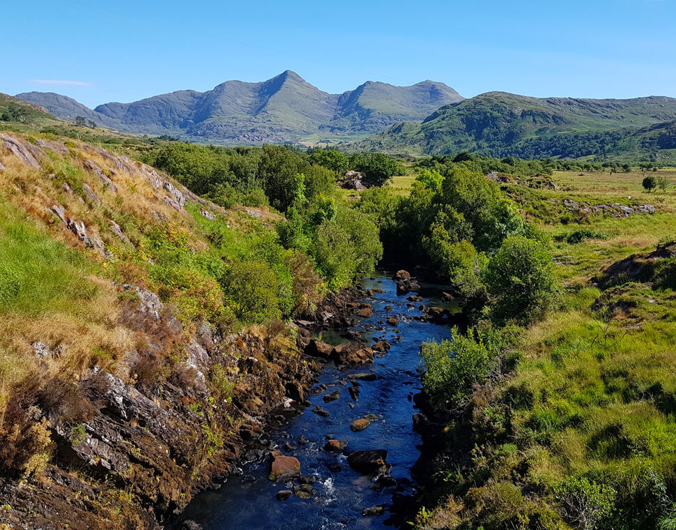
Some of Ireland's most rugged countryside, on boreens, forest trails and mountain paths, passing Cummeenduff Lough and Ireland's highest peak, Carrauntoohil (1,039m). A climb out of the Bridia Valley reveals views of Lough Acoose and the Dingle Peninsula, before a steep descent into the Derrynafeana Valley and on to the Climbers Inn in Glencar.
Overnight: Glencar
Short option: 13 km, 350 m ascent, around 4 hrs
Long option: 19 km, 430 m ascent, around 5.5 hrs
An easier day on forest paths, climbing to the Windy Gap for views of Rossbehy Point, Inch Strand and the Dingle Peninsula, then downhill into the seaside village of Glenbeigh. The longer variant adds the flank of Seefin mountain, with views over Lough Caragh to Macgillycuddy's Reeks.
Overnight: Glenbeigh
Distance: 21 km (or 31 km via a longer variant), Ascent: 300 m, Walking time: 6 to 8 hrs
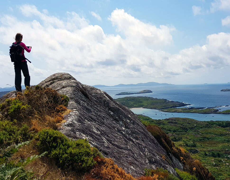
The Kerry Way's first coastal stretch, crossing the Behy river and climbing through Behy forest along an old coach path around Drung Hill, with panoramic views over Rosbeigh Beach and Dingle Bay. A pickup at Foilmore covers the transfer into Cahersiveen, a good base for a rest day and a trip to Valentia Island or Skellig Michael.
Overnight: Cahersiveen
Distance: 22 km, Ascent: 350 m, Walking time: around 7 hrs
A transfer back to the trail starts the day, following moorland ridges via Knockavahaun (371m) for views of Valentia Island, then on toward Ballinskelligs Bay and Lough Currane, descending into the colourful seaside village of Waterville, once a regular haunt of Charlie Chaplin.
Overnight: Waterville
Distance: 13 km, Ascent: 350 m, Walking time: around 4 hrs
A shorter, scenic coastal stage, past ancient stone-walled fields and ring forts above Derrynane Bay, with the option of a detour to Derrynane House, ancestral home of Daniel O'Connell.
Overnight: Caherdaniel
Distance: 18 km, Ascent: 440 m, Walking time: around 5 hrs
The route follows the historic "Old Butter Road," once used to transport butter to Cork, with rocky trails leading up through sheep country to views across Kenmare inlet to the Beara Peninsula. A detour reaches the 3rd-century Staigue ringfort.
Overnight: Sneem
Distance: 31 km, Ascent: 650 m, Walking time: around 8 hrs
A long but gentle day along the rocky shoreline of Kenmare Bay, through the forest and estate of Dromore Castle, finishing in the elegant town of Kenmare. A taxi to or from Blackwater Bridge can shorten the day if preferred.
Overnight: Kenmare
Distance: 26 km, Ascent: 600 m, Walking time: around 7 hrs
The final scenic stretch leaves the coast for the hills, then returns through the oak forests of Killarney National Park, with views across the lakes on the way back into Killarney.
Overnight: Killarney
The trip ends after breakfast, with excellent bus and train connections onward from Killarney.
From
€699
per person
Minimum 2 people per booking; high season supplement may apply
